
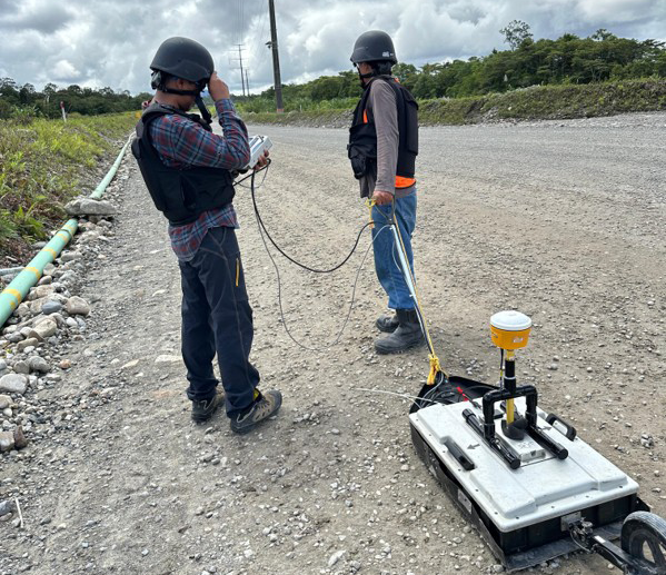
Our passive seismic services leverage advanced non-invasive techniques to monitor and analyze naturally occurring seismic signals, enabling us to provide detailed characterizations of subsurface structures, reservoirs, and fault systems.

Utilizing state-of-the-art transient electromagnetic (TEM) technology, we offer high-resolution mapping of subsurface electrical conductivity, which is essential for a wide range of applications, including mineral exploration, groundwater resource identification, and geotechnical site assessments.

Our electrical resistivity tomography (ERT) services deliver detailed two- and three-dimensional images of subsurface resistivity distributions, enabling precise identification of aquifers, geological faults, and contaminant plumes.
Ground penetrating radar (GPR) is one of our flagship services, providing high-resolution imaging of near-surface features with exceptional accuracy.

Our gravity survey services are designed to detect subtle variations in subsurface density, offering critical insights into geological structures such as mineral deposits, voids, and sedimentary basins.
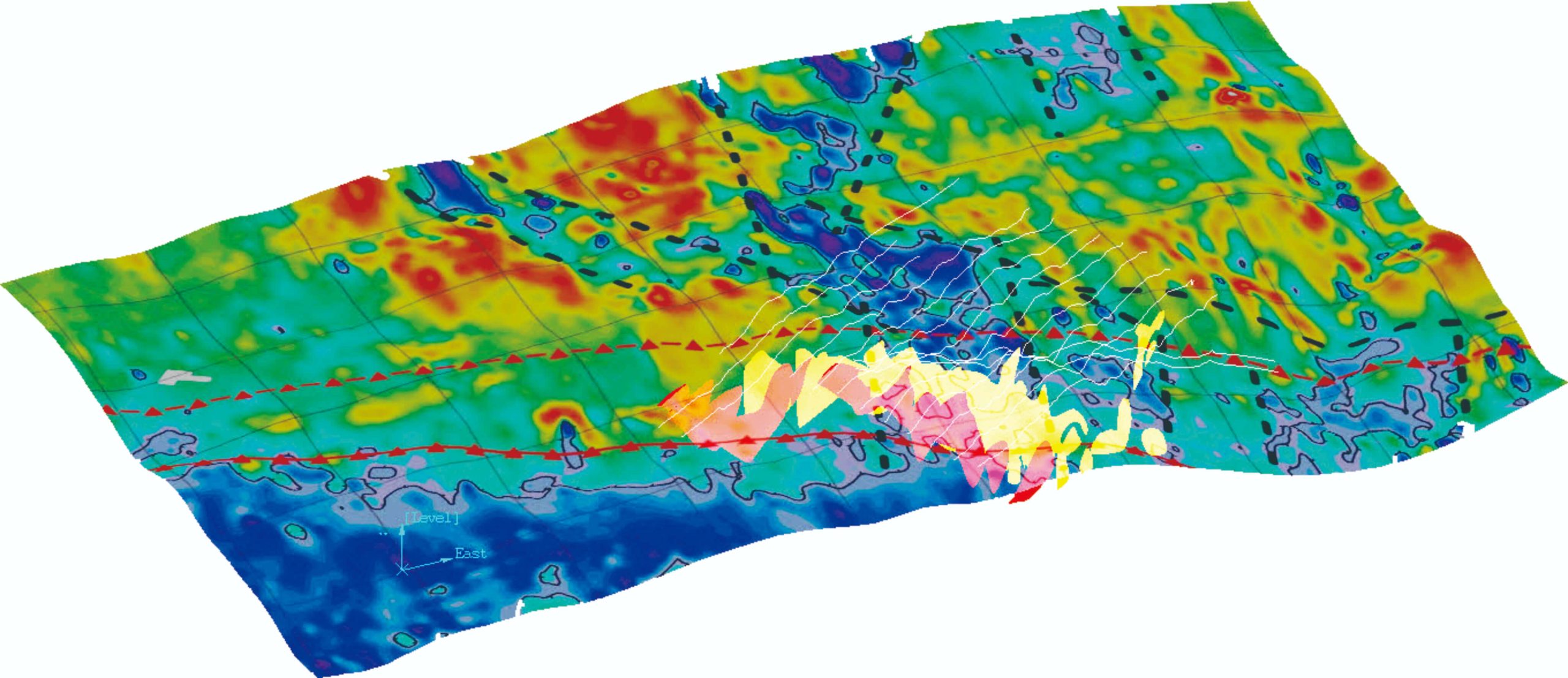
With our advanced magnetic survey capabilities, we identify and map subsurface magnetic anomalies to support a variety of applications, including mineral exploration, unexploded ordnance (UXO) detection, and geological mapping.
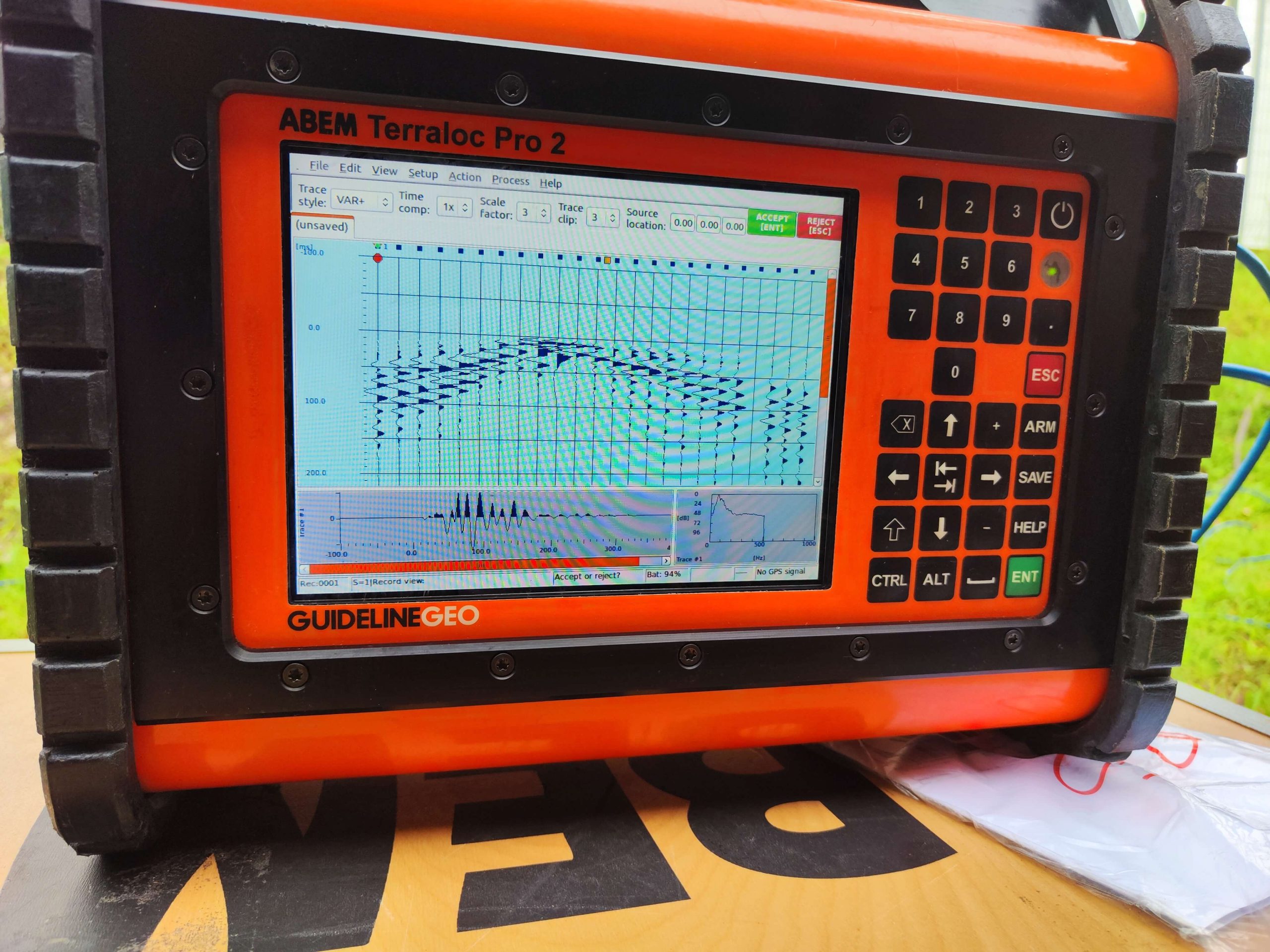
Our seismic refraction services provide in-depth analysis of subsurface velocity profiles, enabling precise mapping of bedrock, fault zones, and overburden layers
© 2025 PT. Spectra Bumi. All Right Reserved