We employ advanced geophysical tools to locate and map underground utilities, including pipelines, cables, and sewers. Our non-invasive techniques ensure accurate detection, reducing the risk of costly damages during excavation and construction.
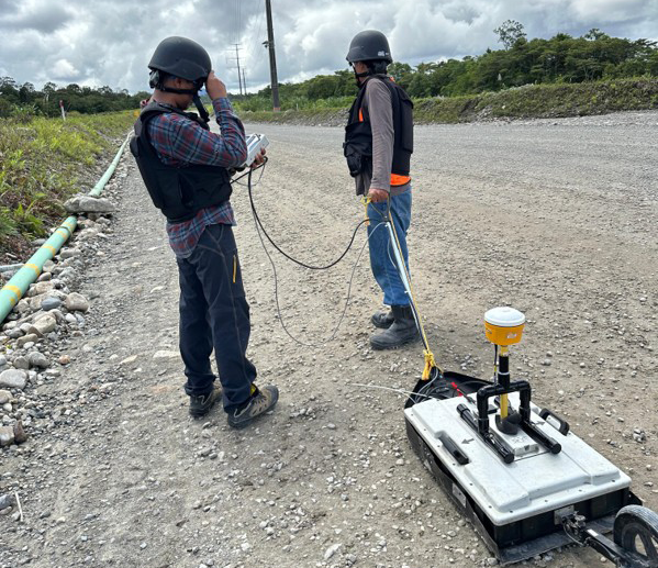
Ground penetrating radar (GPR) is one of our flagship services, providing high-resolution

Our robotic total station services deliver high-precision surveying and monitoring for infrastructure projects
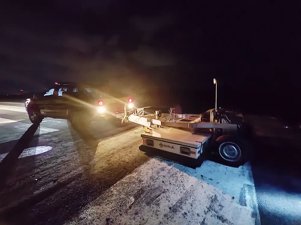
Our road scanner services employ cutting-edge mobile mapping and geophysical technologies
© 2025 PT. Spectra Bumi. All Right Reserved