Subsurface survey services use geophysical methods to detect soil structure, mineral content, groundwater potential, or identify geological risks.
Geophysical data processing and interpretation services to produce accurate subsurface images. Includes seismic, magnetic, gravity, resistivity and GPR data processing to support exploration analysis and technical decision making.
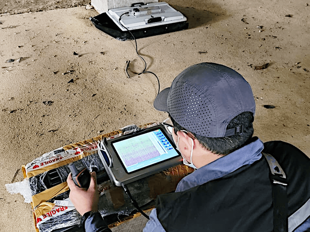
A real-time infrastructure condition monitoring service to detect potential damage, structural shifts, or environmental changes. Using geotechnical sensors, IoT, and mapping technologies to maintain the safety and reliability of buildings, bridges, dams, and other facilities.
© 2025 PT. Spectra Bumi. All Right Reserved